
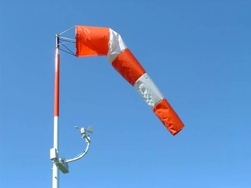
SOUTHERN ILLINOIS — It’s going to be a very windy day across our region today, so the National Weather Service has issued a Wind Advisory that will start and noon today and run until 3 a.m. Wednesday.
You can expect winds out of the west at 15 to 25 mph with gusts up to 45 mph. Gusty winds could blow around unsecured objects. Tree limbs could be blown down and a few power outages may result.
Heavy rainfall tonight will create saturated soil conditions, so a few uprooted trees cannot be ruled out.
Use extra caution when driving, especially if operating a high-profile vehicle. Secure outdoor objects.
Meanwhile, another storm system will bring very similar concerns for wind, rain, and a change over to snow as it passes Thursday night through Friday night.
Very chilly air will arrive behind Friday`s cold front, and that will lead to early morning wind chills Saturday and Sunday ranging from the single digits below zero in the north to the single digits above zero in the south.
Another disturbance will bring a chance of snow to the region Sunday into Sunday night, though confidence in accumulating snow remains low at this time. Bitter cold low temperatures near or below zero and well-below-zero wind chill values are forecast for the Martin Luther King Junior Holiday.